GeoDraw
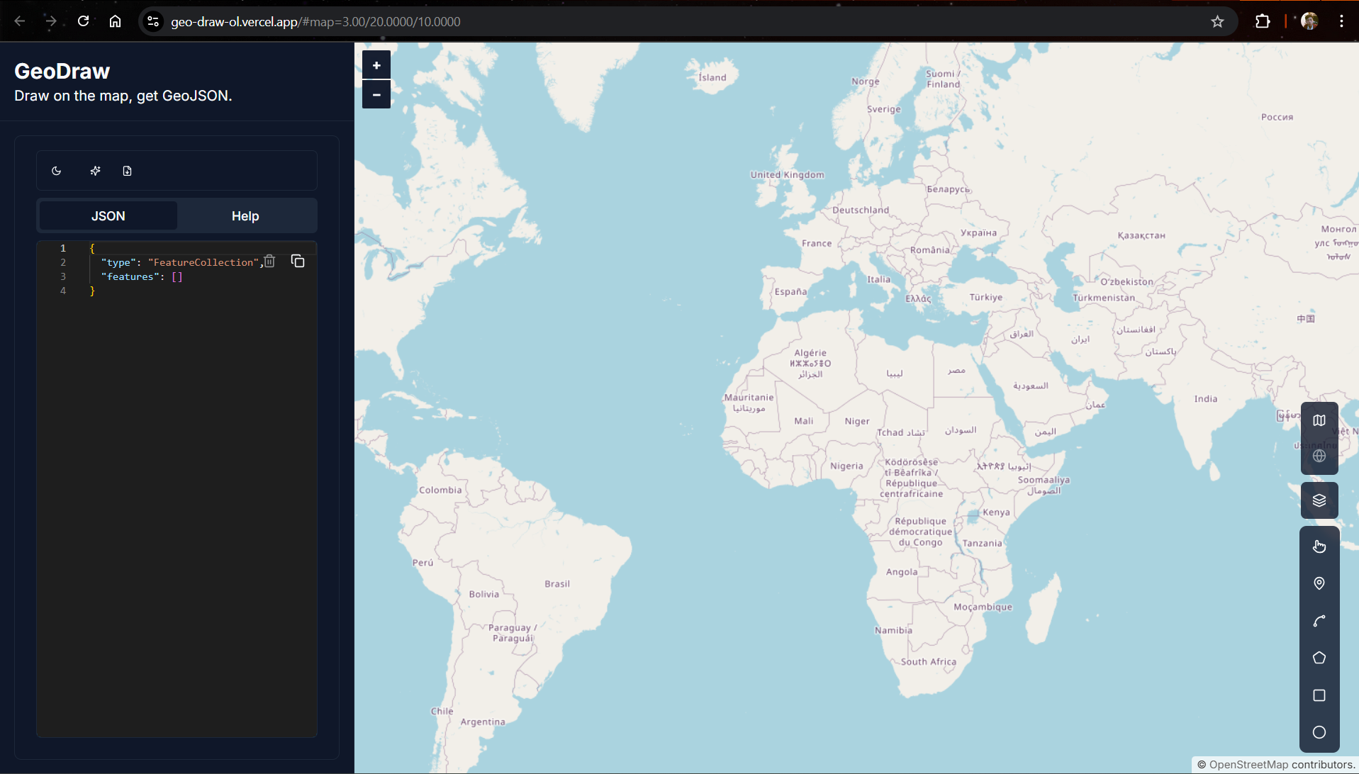
GeoDraw is a simple web-based tool for creating and editing GeoJSON data interactively, inspired by geojson.io. Users can draw points, lines, and polygons on a map and instantly see the generated GeoJSON output in real-time.
Next.js React Tailwind CSS OpenLayers Shadcn UI
Project Overview
GeoDraw is a lightweight and interactive web application designed to create, edit, and visualize GeoJSON data easily. Inspired by geojson.io, it enables users to draw Points, LineStrings, and Polygons directly on a map, with real-time updates to the GeoJSON output.
Key Features
- Interactive Map: Pan and zoom freely on a base map powered by OpenStreetMap.
- Drawing Tools: Draw points, lines, and polygons interactively.
- Edit & Delete: Modify or remove existing shapes easily.
- Real-time GeoJSON Output: Instantly see updated GeoJSON as you draw or edit.
- AI Validation: Validate your GeoJSON structure using an AI-powered checker.
- Copy to Clipboard: Copy generated GeoJSON with one click.
- Responsive Design: Optimized for both desktop and mobile devices.