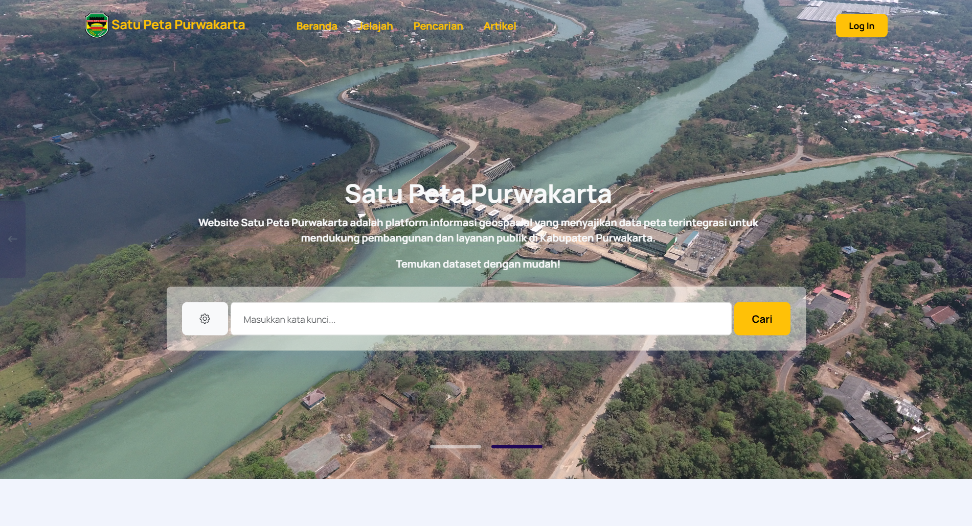
Satu Peta — Purwakarta Geospatial System
A comprehensive geospatial information system developed for the Department of Communication and Information (Diskominfo) of Purwakarta Regency. This innovative platform integrates spatial data to support regional development and public services. With its modern interface and interactive features, exploring spatial data becomes more intuitive and engaging.
Laravel Bootstrap OpenLayers MySQL Vite Node.js


Project Overview
Satu Peta is an official geospatial web platform developed for Diskominfo Purwakarta. This system integrates various spatial datasets to support regional development, infrastructure planning, and public services. With a modern interface and interactive map tools, users can explore and analyze spatial data more intuitively than ever before.
Key Features
- Interactive Map Exploration: Smooth navigation with a responsive user interface, complete with zoom and pan controls for seamless spatial exploration.
- Advanced Spatial Filters:
- Bounding Box Query: Filter data by selecting custom geographic areas.
- Dataset & Agency Filters: Quickly access specific spatial information by category or organization.
- Data Management Dashboard: Manage map datasets, user accounts, articles, app settings, categories, and institutional data synchronization in one place.
- Responsive Design: Optimized for both desktop and mobile devices for smooth map interaction.